


![]() View the latest observations near East Pacific Tropical Depression Four-E.
View the latest observations near East Pacific Tropical Depression Four-E.
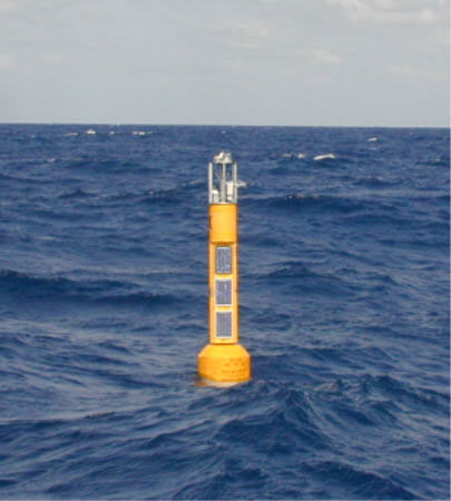
Station 42045 - TGLO TABS Buoy K
Developed and maintained by Texas A&M University
Funding provided by the Texas General Land Office's Oil Spill Prevention & Response Program
TABS II
26.217 N 96.500 W (26°13'0" N 96°29'59" W)
Site elevation: sea level
Air temp height: 4 m above site elevation
Anemometer height: 4 m above site elevation
Barometer elevation: 4 m above mean sea level
Sea temp depth: 2 m below MLLW
Water depth: 62 m
Latest NWS Marine Forecast 1 and Latest NWS Marine Forecast 2
Large icon indicates selected station.
 Stations with recent data
 Stations with no data in last 8 hours
(24 hours for tsunami stations)
(24 hours for tsunami stations)
No Recent Reports
Links which are specific to this station are listed below:
Data for last 45 days: No data available.
- Historical data (data descriptions)
- Search historical meteorological data for observations that meet your threshold conditions
Some data files have been compressed with the GNU gzip program.