Skip Navigation Links weather.gov 
NOAA logo-Select to go to the NOAA homepage NDBC Title GraphicClick to go to NDBC home page   Select to go to the NWS homepage
Home About Us Contact Us


    Station List

 Data Access
    Mobile Access
    Interactive Maps
         All Stations
         DART®
    Obs Search
    Ship Obs Report
    BuoyCAMs
    TAO
    DODS
    OceanSITES
    HF Radar
    OSMC
    Dial-A-Buoy
    RSS Feeds Image indicating link to RSS feed access page
    Web Widget
    Web Data Guide
    Maintenance Schedule
    Station Status Report

 Program Info
    TAO
    DART®
    IOOS®

 Publications
    NDBC PEA
    NDBC FONSI
    NDBC DQC Handbook

 Visitor Information
 
USA.gov is the U.S. government's official web portal to all federal, state and local government web resources and services.

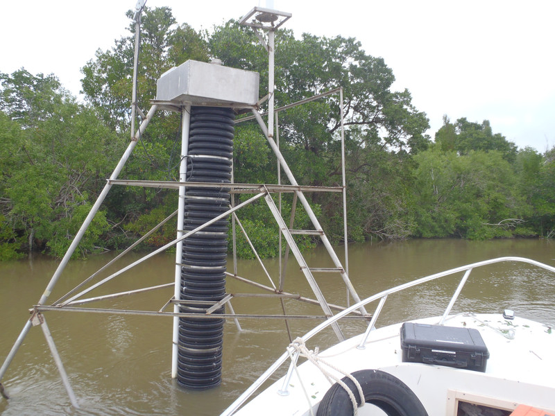
Station LBRF1 - Broad River Lower, FL

Owned and maintained by Everglades National Park
Water Quality Station
25.484 N 81.133 W (25°29'4" N 81°8'0" W)

Site elevation: sea level
Sea temp depth: 1.5 m below MLLW

Water levels are referenced to local datums.  They provide relative change in water level and are not to be used for navigation.

Latest NWS Marine Forecast

Meteorological Observations from Nearby Stations and Ships Image indicating link to RSS feed of recent meteorological observations near station LBRF1

Station LBRF1
Large icon indicates selected station.
yellow diamond Stations with recent data
red diamond Stations with no data in last 8 hours
     (24 hours for tsunami stations)


No Recent Reports


Links which are specific to this station are listed below:

  • Data for last 45 days: No data available.

Some data files have been compressed with the GNU gzip program.