


![]() View the latest observations near Atlantic Tropical Storm Bertha and East Pacific Hurricane Fausto.
View the latest observations near Atlantic Tropical Storm Bertha and East Pacific Hurricane Fausto.
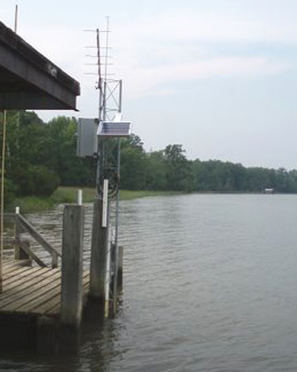
Station CVQV2 - Sweethall Pier, Chesapeake Bay Reserve, VA
Owned and maintained by National Estuarine Research Reserve System
NERRS Water Quality Station
37.571 N 76.884 W (37°34'17" N 76°53'2" W)
Large icon indicates selected station.
 Stations with recent data
 Stations with no data in last 8 hours
(24 hours for tsunami stations)
(24 hours for tsunami stations)
No Recent Reports
Historical data for station CVQV2 are available at the NERRS website.