


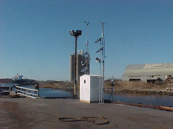
Station MNPV2 - 8639348 - Money Point, VA
Owned and maintained by NOAA's National Ocean Service Physical Oceanographic Real Time System Program (PORTS®)
Water Level Observation Network
36.778 N 76.302 W (36°46'41" N 76°18'6" W)
Site elevation: 2.9 m above mean sea level
Air temp height: 2.9 m above site elevation
Anemometer height: 5.8 m above site elevation
Barometer elevation: 3.8 m above mean sea level
Sea temp depth: 1.3 m below MLLW
Water temperatures at this station may be higher than normally expected due to near-by?industrial activity sites and the physical location?of the sensor.?
Large icon indicates selected station.
 Stations with recent data
 Stations with no data in last 8 hours
(24 hours for tsunami stations)
(24 hours for tsunami stations)
No Recent Reports
Links which are specific to this station are listed below:
Data for last 45 days:
- Real time standard meteorological data and their description.
- Real time derived measurements data and their description.
- Quality controlled data for 2026 (data descriptions)
- Historical data (data descriptions)
- Search historical meteorological data for observations that meet your threshold conditions
- Climatic summary table (TXT) and plots of (description of tables and plots)
Other Available Historical Data
For data before the dates listed above, go to the National Ocean Service's Meteorological Observations page for this station by clicking here:http://tidesandcurrents.noaa.gov/stationhome.html?id=8639348
Some data files have been compressed with the GNU gzip program.