


![]() View the latest observations near East Pacific Tropical Storm Genevieve.
View the latest observations near East Pacific Tropical Storm Genevieve.
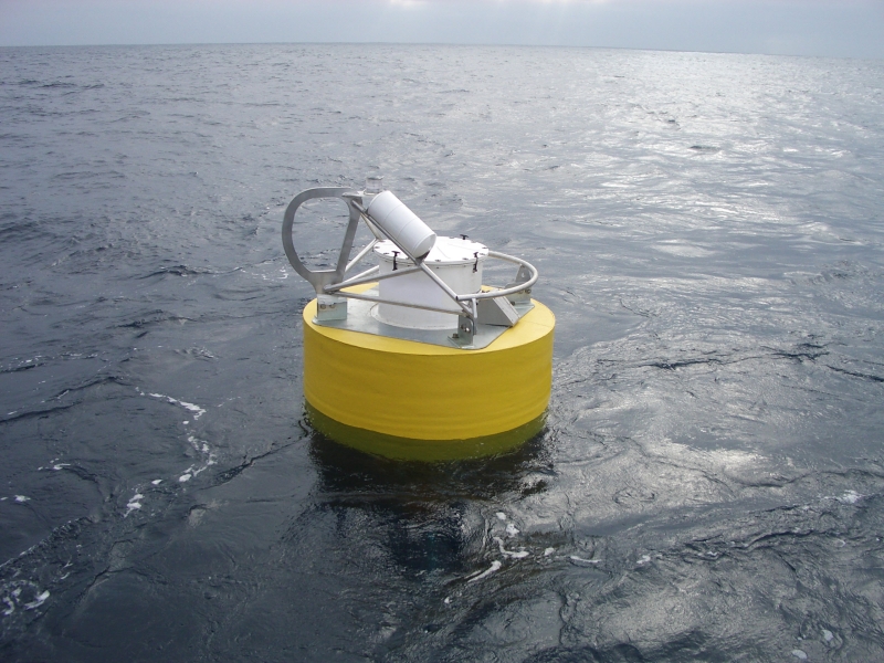
Station 55015 - TASMAN SEA 1 - 1110km ESE of Hobart
Owned and maintained by Australian Bureau of Meteorology
STB - SAIC Tsunami Buoy
SAIC Tsunami Buoy (STB) with DART II BPR
46.956 S 160.343 E (46°57'22" S 160°20'35" E)
Water depth: 4988.5 m
Data are not quality controlled by NDBC.
Large icon indicates selected station.
 Stations with recent data
 Stations with no data in last 8 hours
(24 hours for tsunami stations)
(24 hours for tsunami stations)
Data Access
Links which are specific to this station are listed below:
Real Time Data in tabular form for the last forty-five days.
Historical Data & Climatic Summaries for quality controlled data for prior months and years.