


![]() View the latest observations near East Pacific Hurricane Fausto and East Pacific Tropical Storm Genevieve.
View the latest observations near East Pacific Hurricane Fausto and East Pacific Tropical Storm Genevieve.
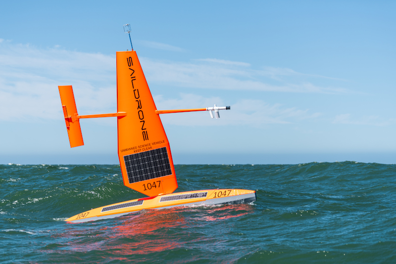
Station 42501 - SD 1042 - 180 nm South of Southwest Pass, LA (Site of 42001)
Leased by National Data Buoy Center
Uncrewed Surface Vehicle
Saildrone Explorer
Site elevation: sea level
Air temp height: 2.3 m above site elevation
Anemometer height: 5.2 m above site elevation
Barometer elevation: 0.2 m above mean sea level
Sea temp depth: 1.5 m below water line
Water depth: 3194 m
Watch circle radius: 20254 yards
Data from the nearby moored buoy (42001) can be found here.
(24 hours for tsunami stations)
No Recent Reports
Links which are specific to this station are listed below:
Data for last 24 hours: No data available.
Data for last 5 days: No data available.
Data for last 45 days: No data available.
- Historical data (data descriptions)
- Search historical meteorological data for observations that meet your threshold conditions
Some data files have been compressed with the GNU gzip program.
The weekly status report and the weekly maintenance report also provide valuable station information.
Note that the payload types and the station locations occasionally change.