


Station 46245 - Ventura Nearshore, CA - 169
Information submitted by Scripps Institution of Oceanography
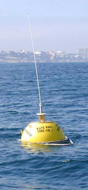
Waverider Buoy
34.251 N 119.308 W (34°15'3" N 119°18'28" W)
Site elevation: sea level
Water depth: 19.8 m
Station 46245 was disestablished February 9, 2011. Use the "Observations from Nearby Stations and Ships" below to see a listing of nearest stations. The historical data will remain available. The station page is accessible via our historical map, or you can always just put in the station ID in the Station ID Search Box.
Large icon indicates selected station.
 Stations with recent data
 Stations with no data in last 8 hours
(24 hours for tsunami stations)
(24 hours for tsunami stations)
No Recent Reports
Links which are specific to this station are listed below:
Data for last 45 days: No data available.
- Historical data (data descriptions)
- Search historical meteorological data for observations that meet your threshold conditions
Some data files have been compressed with the GNU gzip program.