


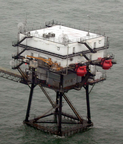
Station SPLL1 - South Timbalier Block 52, LA / CSI06
Owned and maintained by Coastal Studies Institute, Louisiana State University
Shorebased Tower
28.867 N 90.483 W (28°52'0" N 90°29'0" W)
Site elevation: sea level
Air temp height: 10 m above site elevation
Anemometer height: 10 m above site elevation
Barometer elevation: 3 m above mean sea level
Sea temp depth: 1 m below MLLW
Large icon indicates selected station.
 Stations with recent data
 Stations with no data in last 8 hours
(24 hours for tsunami stations)
(24 hours for tsunami stations)
No Recent Reports
Links which are specific to this station are listed below:
Data for last 45 days: No data available.
- Historical data (data descriptions)
- Search historical meteorological data for observations that meet your threshold conditions
Some data files have been compressed with the GNU gzip program.